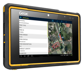

See your existing GIS data in augmented reality on your smartphone or tablet—with no preprocessing, schema changes or other changes to your corporate GIS environment. You don’t need a ready-made 3D model.
View asset information and edit records while you work on site. Talk to us about connecting your data to Augview.
View connected asset records on a map or as a 3D model over your device’s camera view. Augmented reality helps you relate recorded assets to the site around you.
Select an asset to inspect its information. Where your access allows, edit asset records in the field and update your connected GIS data.
Learn more about data connections, access controls and licensing.
Essential cookies keep this site working. With your permission, Google Analytics measures site use and LinkedIn measures advertising results. Change your choice anytime in Cookie settings.